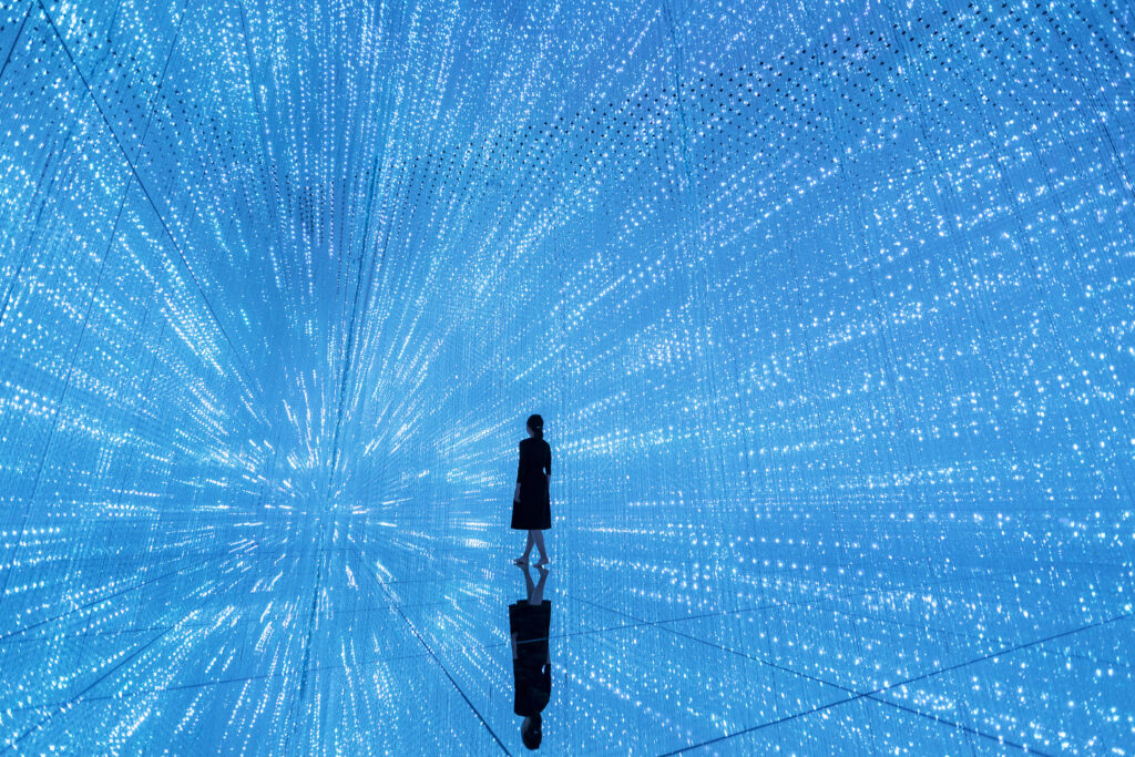


In Virtual Singapore, the Asian city-state’s digital twin – which can be explored, in a sense, through videos available online – cars flow neatly along busy roads, cranes at the port move tens of thousands of shipping containers every day, and people stroll along the waterfront or pose for selfies with the three towers of Marina Bay Sands in the background. It could easily be mistaken for a video game, were it not for the fact that every detail, down to the smallest element, accurately reproduces what happens in the physical city. The model is built using data collected through satellites, GPS systems and a network of sensors distributed across the city.
Singapore was among the first cities in the world to invest in creating a three-dimensional digital replica of itself. Launched in 2014 with an investment of more than US$70 million, the project was conceived from the outset as national infrastructure: a simulation platform designed to support the work of multiple public agencies by monitoring the behaviour of the city’s urban fabric.
With the help of this highly detailed virtual replica, city authorities can monitor traffic flows and neighbourhood energy consumption, plan evacuation routes, and simulate the construction of new infrastructure, such as a bridge, to understand its impact on mobility. They can also model the consequences of catastrophic events, including earthquakes, in order to develop effective mitigation strategies.
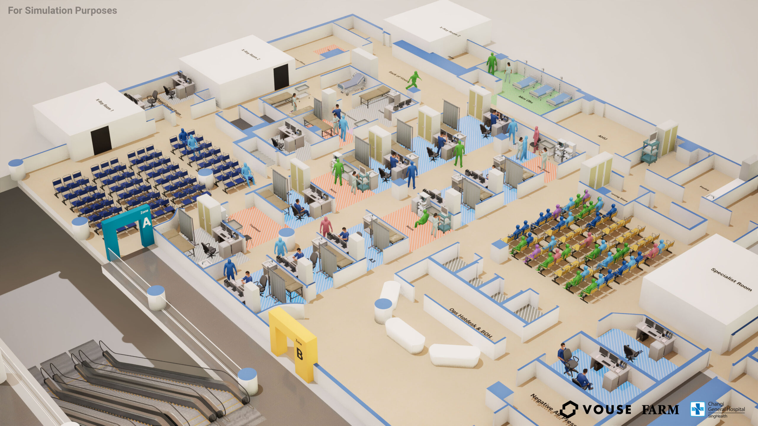
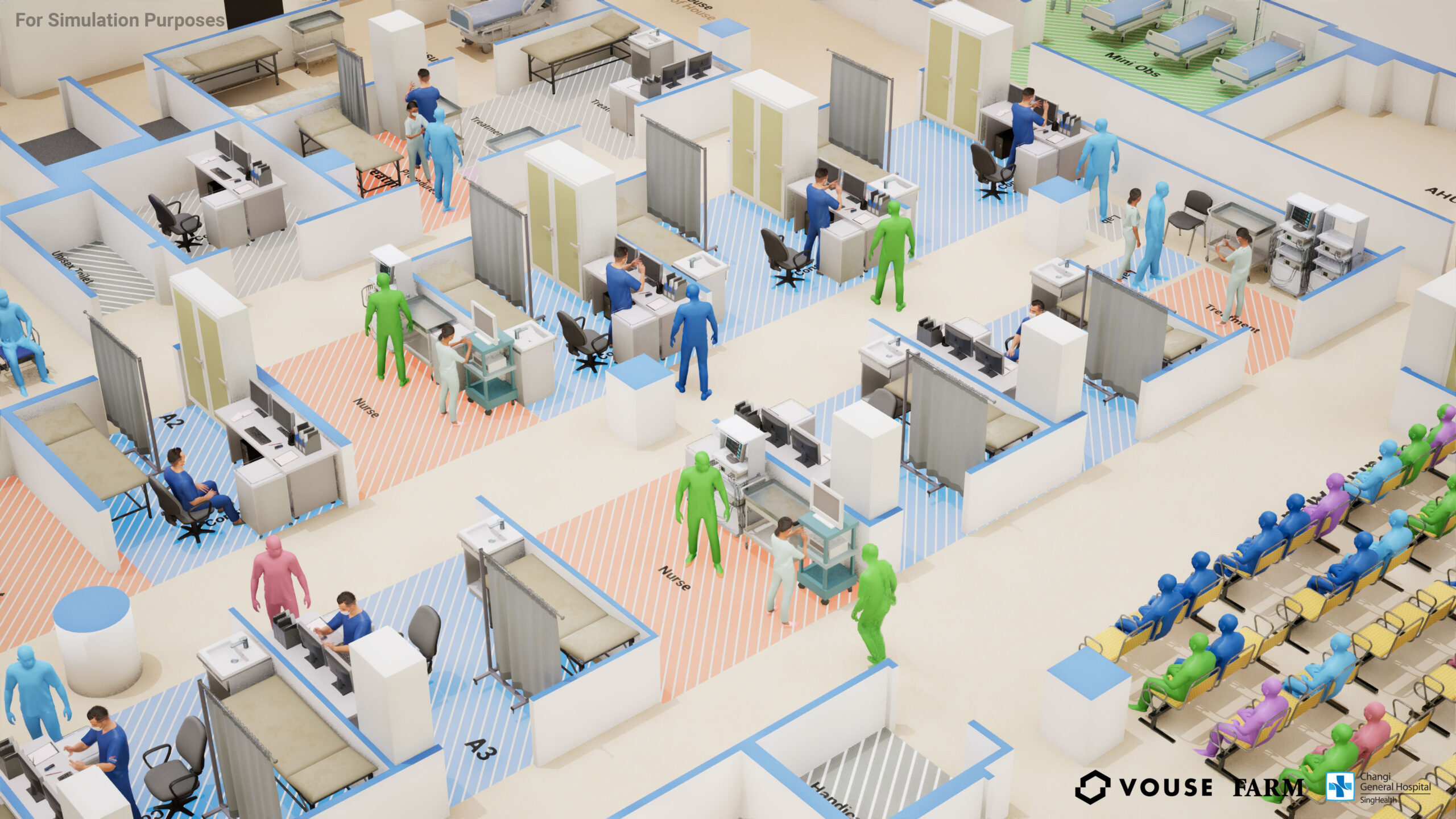
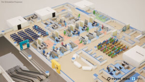
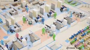
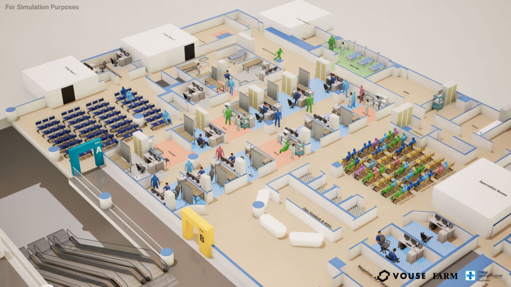
Over time, Virtual Singapore has become an international benchmark, inspiring a new generation of more specialised digital twins. One example, developed by design studios Farm and Vouse in collaboration with Changi General Hospital – a 1,000-bed hospital serving the densely populated residential district of Simei – focuses on patient flows through emergency department triage and the management of care services. The project was presented during Milan Design Week 2025 as part of an exhibition celebrating the 60th anniversary of Singapore’s independence, showcasing the country as a global laboratory for design and technological innovation.
Although Singapore remains the only city to have implemented such a comprehensive digital twin, the concept is rapidly becoming a standard tool for urban planning and management. The term Digital Twin is believed to have been coined in 2010 by Nasa technologist John Vickers, although the underlying concept originated much earlier in the aerospace sector. During the Apollo 13 mission, engineers on Earth created a physical counterpart of the damaged spacecraft to devise a solution after an oxygen tank exploded in space. Today, digital twins are increasingly being used to support urban governance.
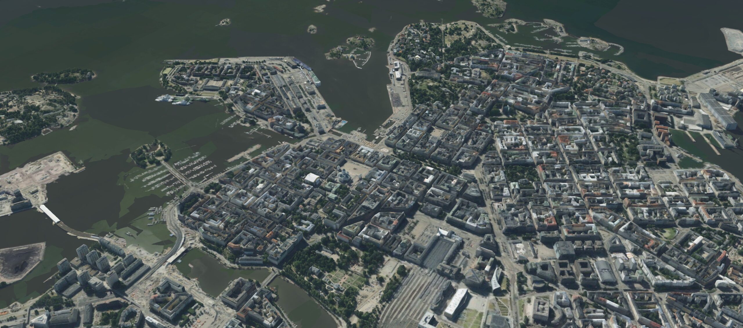
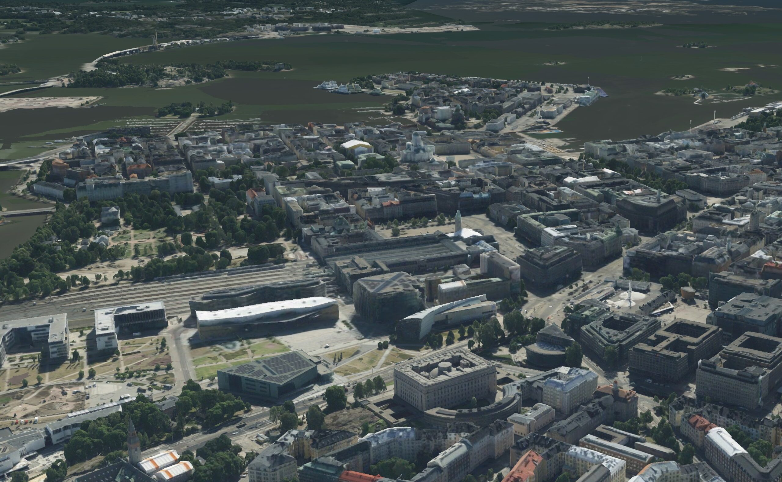
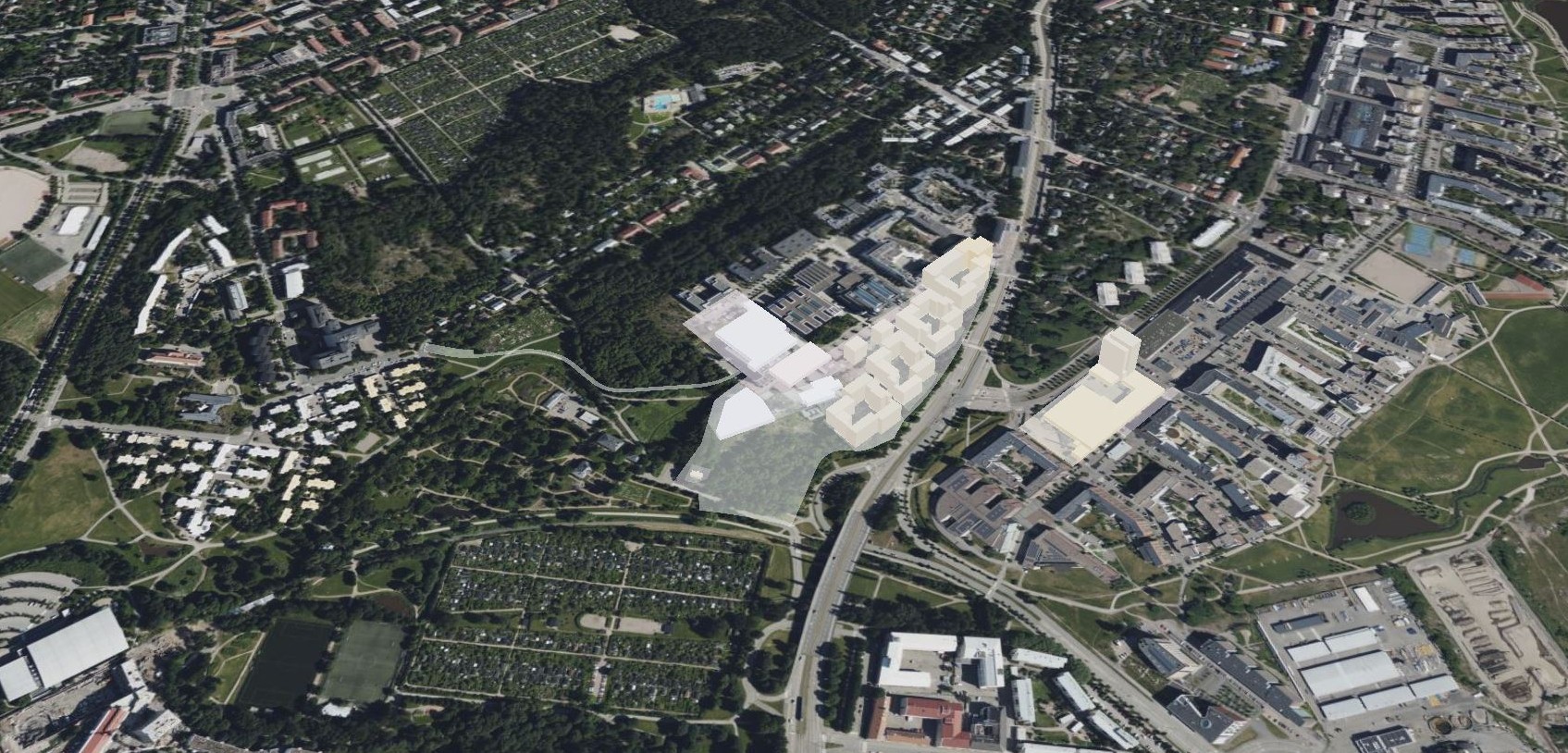
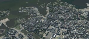
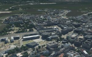
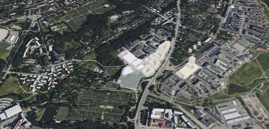
According to a 2025 report by New York-based consultancy ABI Research, more than 500 cities worldwide already rely on at least one digital twin to manage areas ranging from infrastructure and green spaces to the mitigation of extreme weather events. The increased efficiency enabled by these technologies is expected to generate savings of around US$280 billion by 2030. In Helsinki, experimentation with three-dimensional city models began as early as the 1980s, when detailed virtual reconstructions were created of landmark buildings such as the Functionalist Post Office Building and the Central Railway Station, designed in 1919 by renowned architect Eliel Saarinen, father of designer Eero Saarinen. Today, the Finnish capital has developed a millimetre-accurate digital model of its entire urban area. Among its many applications are improving energy efficiency and helping the city adapt to the impacts of climate change.
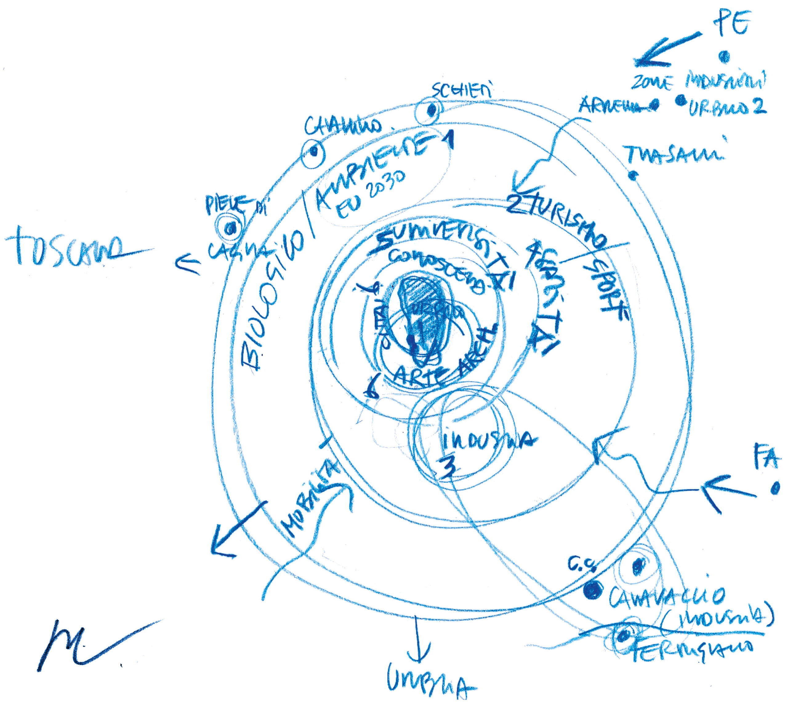
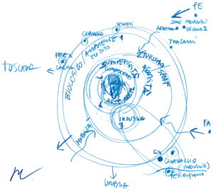
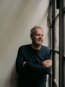
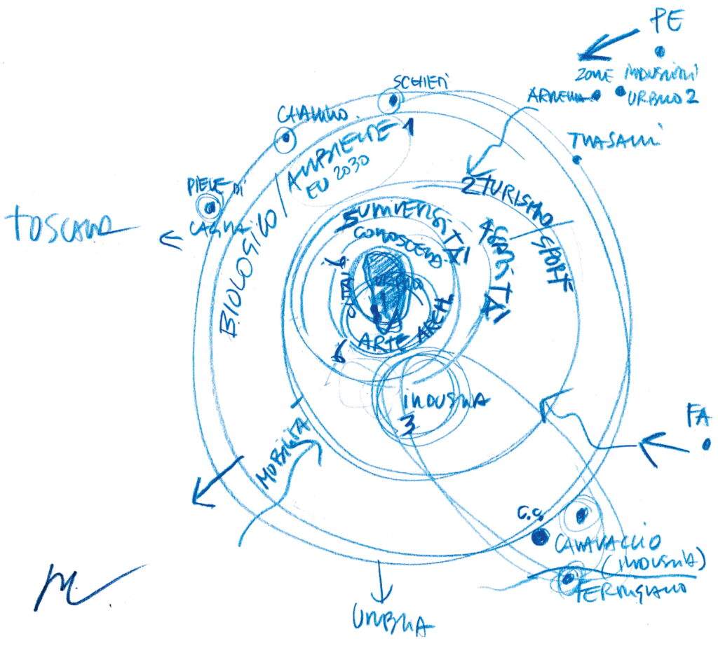
In Italy, the historic city of Urbino is also embracing digital twin technology. A comprehensive digital replica of the territory forms one of the foundations of the city’s new General Urban Plan (Pug), currently being developed by MCA – Mario Cucinella Architects. Known for its long-standing commitment to sustainable architecture, the practice has been commissioned to rethink the municipality as a system of concentric circles, with the historic walled city at its centre and the surrounding villages and landscapes extending outwards to define its outermost ring.
In this vision, every part of the territory is interconnected. “The Digital Twin was developed by an organisation appointed by the municipality and became a fundamental tool for building the Knowledge Framework that underpins the plan”, explains Giulia Mariotti, engineer, architect and project leader at MCA. “It enabled us to collect, map and manage a vast amount of information simultaneously, making it possible to develop a truly integrated understanding of the territory and its infrastructure. Thanks to this tool, the new General Urban Plan will be based on adaptive and evolutionary planning, capable of responding to changes in society over time.”
Urbino is no ordinary city, but the result of a precise intellectual and cultural vision: the place that duke Federico da Montefeltro transformed into the spatial embodiment of Renaissance ideals of harmony. Today it is recognised as a Unesco World Heritage Site. The city’s current masterplan, designed in the late 1950s and early 1960s by Giancarlo De Carlo, a pioneer of participatory and sustainable architecture and one of Mario Cucinella’s own mentors, was already based on the idea of a city in constant evolution, recognising the importance of connecting the historic centre with the wider territory. “A digital twin makes it possible to simulate future scenarios, predict impacts and adapt in real time, becoming an invaluable support during the strategic and planning phases of urban design”, Mariotti continues. “The Pug is a strategic planning document rather than a traditional zoning plan, so it does not prescribe fixed regulations. However, the digital twin allows us to collect an extraordinary amount of data, almost like an enhanced satellite survey, enriched with detailed information such as business activity classifications. This not only helps define the existing conditions on which the strategic vision of the plan is built but also provides a powerful tool for assessing its future effectiveness. It gives public authorities the ability to monitor change continuously and evaluate different scenarios before making decisions.”